Bikes lubricated, calves raring to go!
(E-)Bike or Hike? Preferably both! Combined tours of cycling and hiking are becoming increasingly popular, because you simply cover more ground on your way to the summit. In the St. Anton am Arlberg region you will find wonderful (e-)bike & hike tours in all variations - from leisurely to breathtaking!
(E-)Bike & Hike Sattelkopf
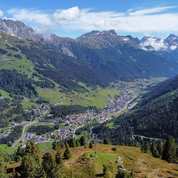
Sattelkopf (1,985 m) is St. Anton am Arlberg’s local mountain. It is a pleasant mountain to hike, therefore also suitable for (E-)Bike & Hike beginners as part of a moderate tour. You can stop off for refreshments at Alpe Tritsch (1,730 m). Preferably twice - on the way up AND on the way down!
(E-)bike route: start in a westerly direction from St. Anton am Arlberg Information Office, towards the Rendlbahn cable car. After the pedestrian bridge, follow signs to ”Moostalweg“ and continue straight ahead until you reach the ”gate.“ You are now in the Moostal Valley, so turn right at the next fork leading towards Tritschalm. Park your (e-)bike here (take a padlock with you to secure your bike!)
Hike route: Follow signs from the Tritschalm to the northwest. After one kilometre, you will pass Tritscher Köpfl to Sattelkopf Peak. Walk back along the same route.

Hardfacts
Start: St. Anton am Arlberg
Level of difficulty: (E-)bike and hiking moderately difficult
Finishing point (e-)bike/starting point hike: Alpe Tritsch
Elevation difference: uphill bike 409 m, uphill hike 330 m
Distance: (E-)bike 11.4 km, hike 5.6 km
Duration (return journey) (E-)bike 1:45 h, hike 2:45 h
Intermediate stop:Alpe Tritsch serves snacks and is located in the Moostal Valley at 1,730 m.
Destination: Summit cross at Sattelkopf Peak at 1,985 m
(E-)Bike & Hike Zwölferkopf
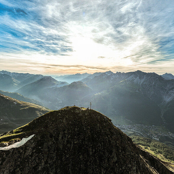
You’re going to have to pedal hard and lace up those mountain boots tightly if you want to reach Zwölferkopf summit with its breathtaking mountain scenery. This won’t be a problem if you are fit enough, because a picturesque forest path leads up to an altitude of approx. 2,000 m, making the tour ideal for (e-)biking and hiking. An element of surefootedness is required for the summit ascent!
(E-)bike route: Head from St. Anton am Arlberg Information Office to the Stanzertal Cycle Path. Now follow the asphalted path in an easterly direction until you reach the Guhl bend. Here you branch off the cycle path to the right in the direction of Alpe Rendl, from where you cycle uphill on the forest path along a pleasant incline. The beautifully situated Rendlalm is a good place for a short rest, as the route now becomes steeper through the northern flank of Mt. Zwölferkopf to the (e-)bike parking area at 2,050 m (take a padlock with you to secure your bike!)
Bike route: Follow the signpost ”Zwölferkopf“ to the left towards a narrow path. After some 20 to 30 minutes you will be heading steadily along the western ridge of the Zwölferkopf towards the summit, which you will reach after around 1 to 1.5 hours from the (e-)bike parking area. Sturdy footwear, surefootedness, a good head for heights as well as some sense of direction will be required, and hiking poles are recommended. The summit cross only appears on the very last stage of the hike.
Hardfacts
Start: St. Anton am Arlberg
Level of difficulty: (E-)bike and hiking moderately difficult
Finishing point (e-)bike/starting point hike: Zwölferkopf avalanche barrier
Elevation difference: uphill bike 576 m, uphill hike 500 m
Distance: (E-)bike 20.2 km, hike 3.2 km
Duration (return journey): (E-)bike 2:10 h, hike 2:30 h
Intermediate stop: Rendlalm
Destination: Summit cross at Sattelkopf Peak at 2,556 m

(E-)Bike & Hike Malfonalm – Edmund-Graf-Hut – Hoher Riffler
Climb a three-thousand-metre peak by (e-)bike and on foot, and the highest mountain in the region to boot! Look down on the ancient ice fields of the Pettneuer and Flirscher Glaciers from the Hoher Riffler - a magnificent experience, but you will need stamina and cross-country skills to get there. This tour is only suitable for people with good fitness levels and alpine experience.
(E-)bike route: Starting from St. Anton am Arlberg Information Office, continue eastwards along the ”Kunstmeile - Art Mile“ in the direction of the Nasserein Lift. Turn right there and head in a southerly direction to the start of Stanzertal cycle path, from where the well-signposted cycle path leads alongside the banks of the Rosanna River. Pass the Wellnesspark Arlberg Stanzertal extern, cross the bridge and turn left. Now follow signs into the Malfontal valley. A steep but well-surfaced road leads up to the Malfonalm. Head straight on from there to the supply cable car for the Edmund-Graf-Hut, where you will find the (e-)bike parking area (take a padlock with you to secure your bike!)
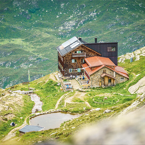
Hike route: The hiking trail from the (e-)bike parking area starts a little further south, where you turn right after a few metres and head up over challenging, steep terrain. If you are in good shape, you will arrive at Edmund Graf Hut after around one hour, before reaching the summit after another two hours. Walk back along the same route.

Hardfacts
Start: St. Anton am Arlberg
Level of difficulty: (E-)bike medium, walking difficult
Finishing point (e-)bike/starting point hike: Supply cable car for the Edmund-Graf-Hut in Malfontal
Elevation difference: uphill (e-)bike 725 m, uphill hike 1,328 m
Distance: (E-)bike 25.8 km, hike 8.7 km
Duration (return journey): (E-)bike 2 h, Hike 6 h
Intermediate stop: Malfonalm
Destination: Summit cross on the Hohe Riffler at 3,168 m